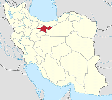
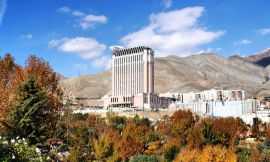
Tehran Province is one of the 31 provinces of Iran. It covers an area of 18,909 square kilometres (7,301 sq mi) and is located to the north of the central plateau of Iran.
The province was put as part of First Region with its secretariat located in its capital city, Tehran, upon the division of the provinces into 5 regions solely for coordination and development purposes on June 22, 2014.
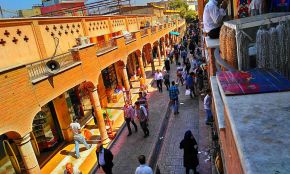
Tehran Province borders Mazandaran Province in the north, Qom Province in the south, Semnan Province in the east, and Alborz Province in the west. The metropolis of Tehran is the capital city of the province and of Iran. As of June 2005, this province includes 13 townships, 43 municipalities, and 1358 villages.
Tehran Province is the richest province of Iran as it contributes approximately 29% of the country's GDP. Furthermore, it houses approximately 18% of the country's population. Tehran Province is the most industrialized province in Iran; 86.5% of its population resides in urban areas and 13.5% of its population resides in rural areas.
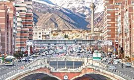
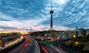
The province gained importance when Tehran was claimed the capital by the Qajar dynasty in 1778. Today, Tehran, with a population of 8 million, is ranked amongst the 40 most populous metropolitan cities of the world.