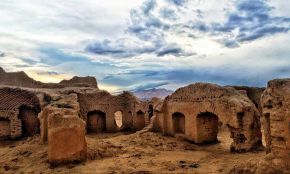
Semnan Province is one of the 31 provinces of Iran. It is in the north of the country, and its center is Semnan. The province of Semnan covers an area of 96,816 square kilometers and stretches along the Alborz mountain range and borders to Dasht-e Kavir desert in its southern parts.
The province was put as part of Region 1 upon the division of the provinces into 5 regions solely for coordination and development purposes on June 22, 2014.
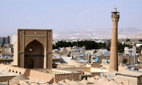
Counties of the province include Semnan County, Aradan County, Damghan County, Shahrud County, Mehdishahr County, Meyami County, Sorkheh County& Garmsar County. In 1996, the province had a population of about 501,000 (631,218 in 2011), and in 2005 Semnan city (the capital of the province) had a population of 119,778, and the city of Shahrud, which accounts for being the largest city of this province, had a population of 231,831.
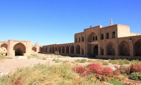
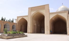
Semnan can be divided into sixteen sectors from the old days of Avesta. During the Medes and Achaemenid periods, it accounted for being one of the largest provinces of the empire, and today it roughly corresponds to the borders of the ancient region of Parthia.